Our experienced team combines advanced drone technology, photogrammetry, thermal imaging, and terrestrial laser scanning to produce reliable geospatial data that improves efficiency, reduces risk, and supports confident decision-making. Every project is completed with a commitment to accuracy, safety, and professional standards.
Whether you’re mapping a construction site, inspecting critical infrastructure, calculating stockpile volumes, or creating accurate as-built documentation, TrueSite360 delivers actionable insights that help keep your projects on schedule and within budget.

High-resolution aerial photography, video, and thermal imaging for construction, inspections, infrastructure, and commercial projects.

Accurate orthomosaics, and geospatial data to support surveyors, engineers, and construction professionals.
Professional roof, solar, building envelope, and equipment inspections using high-resolution RGB and thermal imaging to identify issues quickly and accurately.
Accurate stockpile, aggregate, and earthwork volume calculations using drone photography to improve inventory management and project planning.
High-precision 3D laser scanning and reality capture services that produce accurate as-built documentation, point clouds, and digital models for design and construction.

Expert guidance for drone program implementation, Part 107 compliance, workflow optimization, and integrating aerial data into your business operations.

Accurate data, advanced technology, and dependable service for every stage of your project.

Capture survey-grade aerial imagery, mapping, inspections, and geospatial data you can trust for confident project decisions.
Using industry-leading drones, thermal imaging and BLK360 laser scanning to deliver exceptional accuracy.

Our knowledgeable team follows proven workflows and safety standards to ensure reliable, consistent project results.

From planning and construction to inspections and as-built documentation, we transform field data into valuable project intelligence.
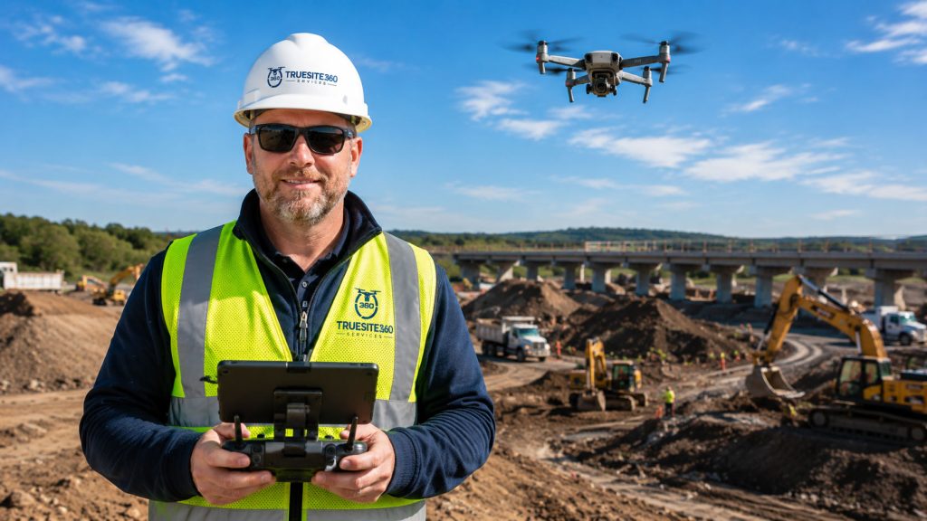
Todd Tilford leads TrueSite360 with a commitment to delivering accurate, reliable geospatial data for construction, engineering, and infrastructure projects. As an FAA Part 107 Certified Remote Pilot, he is licensed to perform professional commercial drone operations safely and in compliance with federal regulations.
Using advanced drone technology, high-resolution imaging systems, and professional reality capture equipment, Todd provides precise aerial mapping, inspections, volumetric analysis, and 3D documentation that help clients make informed decisions throughout every phase of a project.
His focus is simple: deliver dependable data, exceptional service, and results clients can trust.
Whether you’re planning a new development, documenting construction progress, performing inspections, or creating accurate as-built records, our team is ready to help. Tell us about your project, and we’ll recommend the right aerial imaging, mapping, scanning, or reality capture solution.