At TrueSite360, we provide professional drone services, aerial imaging, inspections, volumetric analysis, and 3D reality capture throughout Central Florida.
We help contractors, engineers, developers, licensed surveyors, architects, facility managers, and property owners capture accurate site information and turn it into practical project intelligence.
TrueSite360 is an expansion of CAD Design Systems, extending its established design and technical capabilities into advanced field data collection. By combining professional drone operations, thermal imaging, terrestrial laser scanning, and experienced project support, we help clients understand existing conditions, document progress, reduce uncertainty, and make better-informed decisions.
Our goal is simple:
See it. Capture it. Build with confidence.
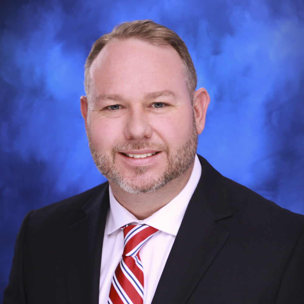
TrueSite360 is led by Todd Tilford, Principal and FAA Part 107 Certified Remote Pilot.
Todd brings a practical understanding of construction, engineering support, design workflows, and technical documentation to every project. His professional drone certification allows him to perform commercial drone operations in accordance with applicable federal requirements.
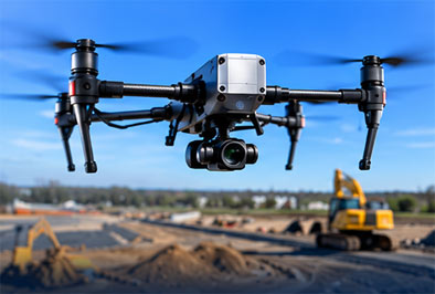
He also uses advanced equipment designed for professional aerial imaging, inspections, and reality capture.
This includes high-resolution drone systems, thermal and RGB imaging technology, and BLK360 terrestrial scanning equipment.
Todd’s focus is not simply capturing attractive aerial footage. His priority is collecting dependable information that clients can use to evaluate conditions, document work, monitor progress, and support important project decisions.
Every assignment is approached with an emphasis on safety, preparation, accuracy, communication, and professional service.

High-resolution aerial imaging and data collection
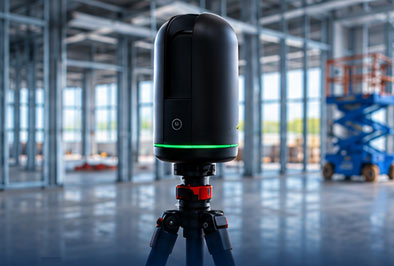
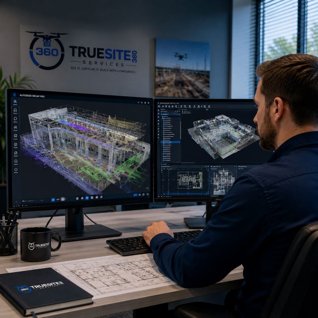
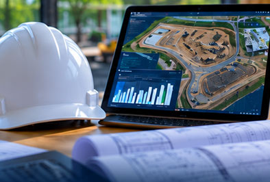
Advanced drone mapping and terrestrial laser scanning capture real-world conditions
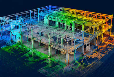
Point clouds and 3D models created for visualization and analysis
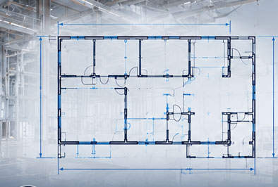
Accurate measurements and quantifications extracted from the data
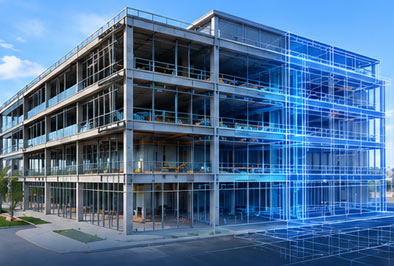
Data integrated into CAD and BIM workflows for design and coordination
Reliable information leads to confident decisions, reduces risk, and saves time

TrueSite360 combines advanced drone mapping and reality capture technologies to deliver accurate, actionable data for every phase of your project.

Capture precise existing conditions with drone mapping and laser scanning.

Streamlined workflows save time in the field and reduce rework in the office.
Clear, reliable deliverables that support planning, coordination, and better project outcomes.

Clear, reliable deliverables that support planning, coordination, and better project outcomes.