Managing commercial properties requires accurate information, timely inspections, and proactive maintenance. Traditional property inspections often involve ladders, lifts, scaffolding, and multiple site visits, increasing both costs and safety risks.
Today, Aerial Imaging Central Florida services are helping commercial property owners, facility managers, real estate investors, and property management companies work smarter. Using advanced drone technology, high-resolution photography, and aerial mapping, property managers can inspect buildings, monitor assets, document conditions, and make informed decisions faster than ever before.
At TrueSite360, we provide professional aerial imaging services throughout Central Florida, delivering detailed aerial photography and actionable data that help protect valuable commercial investments while reducing operating costs.
What Is Aerial Imaging?
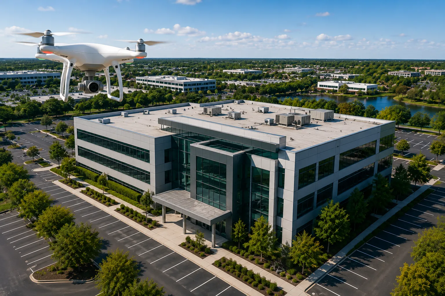
Aerial Imaging Central Florida uses FAA-certified drones equipped with high-resolution cameras to capture detailed photographs and videos of commercial properties from above. Unlike traditional photography, aerial imaging provides a complete view of buildings, roofs, parking lots, infrastructure, landscaping, and surrounding property.
The imagery can be used for inspections, maintenance planning, insurance documentation, marketing, construction monitoring, and asset management.
Whether you manage a retail center, office complex, industrial facility, apartment community, or municipal property, aerial imaging provides valuable insights that aren’t visible from the ground.
1. Faster Roof Inspections
Roof inspections traditionally require ladders, lifts, scaffolding, or climbing onto potentially dangerous surfaces.
With Aerial Imaging Central Florida, drones safely capture high-resolution images of:
- Roof damage
- Ponding water
- HVAC equipment
- Flashing failures
- Membrane deterioration
- Storm damage
- Solar panel installations
Property managers receive detailed imagery without exposing workers to unnecessary risks or disrupting daily operations.
2. Improve Preventive Maintenance
Preventive maintenance saves thousands of dollars by identifying small issues before they become major repairs.
Regular aerial inspections allow property managers to monitor:
- Roof conditions
- Exterior walls
- Drainage systems
- Parking lots
- Building façades
- Utility equipment
- Landscaping
By spotting problems early, maintenance can be scheduled before expensive emergency repairs become necessary.
3. Better Documentation for Insurance Claims
After severe weather, documenting property damage quickly is critical.
Drone aerial imaging provides accurate visual evidence that helps support insurance claims following:
- Hurricanes
- Wind damage
- Hail storms
- Flooding
- Fire damage
- Falling debris
High-resolution aerial imagery creates a permanent record of property conditions that can simplify the claims process and reduce disputes with insurance providers.
4. Monitor Large Commercial Properties Efficiently
Large commercial campuses often require hours or even days to inspect manually.
Drone imaging allows facility managers to evaluate entire properties in a fraction of the time.
This includes:
- Shopping centers
- Warehouses
- Distribution centers
- Industrial facilities
- Business parks
- Apartment communities
- Municipal properties
Instead of walking every acre, managers receive comprehensive aerial documentation from a single drone flight.
5. Improve Budget Planning
Property management budgets depend on accurate information.
Aerial imaging provides current visual documentation that helps prioritize maintenance projects based on actual conditions rather than estimates.
Managers can confidently budget for:
- Roof replacement
- Pavement repairs
- Exterior painting
- HVAC upgrades
- Drainage improvements
- Landscaping projects
Better information leads to smarter financial decisions and more efficient capital planning.
6. Enhance Property Marketing
Professional aerial photography helps showcase commercial properties from perspectives impossible to achieve with ground photography.
Marketing teams can highlight:
- Property size
- Parking availability
- Building access
- Nearby highways
- Business districts
- Surrounding amenities
- Development opportunities
Whether leasing office space, marketing industrial facilities, or selling commercial real estate, aerial imagery creates stronger first impressions for prospective buyers and tenants.
7. Improve Asset Management
Commercial property owners manage valuable assets that require regular monitoring.
Aerial Imaging Central Florida supports long-term asset management by creating an accurate historical record of each property over time.
Routine drone flights allow managers to compare conditions year after year, helping identify gradual deterioration before it becomes costly.
Combined with Digital Twins, Reality Capture, and 3D Modeling, aerial imaging becomes part of a comprehensive property management strategy.
Industries That Benefit
Professional aerial imaging is ideal for:
- Commercial Real Estate
- Property Management Companies
- Industrial Facilities
- Manufacturing Plants
- Apartment Communities
- Healthcare Campuses
- Educational Facilities
- Municipal Governments
- Construction Companies
- Utility Providers
Regardless of property size, aerial imaging delivers valuable information that supports better operational decisions.
Why Choose TrueSite360?
TrueSite360 provides professional Aerial Imaging Central Florida services using advanced drone technology and FAA-certified pilots. Our team delivers high-resolution aerial photography, detailed inspections, construction documentation, and property assessments that help commercial property owners reduce costs while improving maintenance planning.
We proudly serve commercial property owners, facility managers, developers, engineers, municipalities, and businesses throughout Central Florida with reliable aerial imaging solutions tailored to each project.
Frequently Asked Questions
What is aerial imaging?
Aerial imaging uses drones equipped with high-resolution cameras to capture detailed photographs and videos of commercial properties from above.
Is aerial imaging safe?
Yes. Professional drone operations eliminate many of the risks associated with climbing roofs, scaffolding, or using aerial lifts.
How often should commercial properties be inspected?
Many property owners schedule aerial inspections annually or after major storms to monitor changes and identify maintenance needs.
Can aerial imaging help with insurance claims?
Absolutely. High-resolution aerial photographs provide valuable documentation for insurance claims involving storm damage, fire damage, or other property losses.
Does TrueSite360 provide Aerial Imaging throughout Central Florida?
Yes. TrueSite360 provides professional Aerial Imaging Central Florida services for commercial, industrial, municipal, and construction projects throughout the region.
Ready to Improve Your Property Management?
If you’re looking for a safer, faster, and more cost-effective way to inspect and manage your commercial property, TrueSite360 is here to help. Our Aerial Imaging Central Florida services provide accurate aerial photography and actionable insights that improve maintenance planning, support insurance documentation, and protect your investment.
Contact TrueSite360 today to learn how our aerial imaging services can help you manage your commercial